Lost Lake–Primrose Traverse
 I guess it finally had to happen: mountain biked the Lost Lake and Primrose trails over the weekend, Running north out of Seward, spending the night at Lost Lake, riding out Primrose trail, and then biking back to Seward.
These two trails are probably the most challenging, yet accessible, that I’ve ridden so far—the rough conditions of the trail balanced out by the fact that they don’t become overgrown over the summer. Overgrowth can really be a factor with the long hours of sunlight, leaving some of the trails on the Kenai Peninsula unusable from mid-summer to the first killing frosts in early September.
The Trails
Lost Lake trail starts at milepost five, just North of Seward. Follow the signs about a quarter mile off the highway, and park. The trail does not bait you into any false sense of security: you pay right up front—rough conditions and a pretty steep grade.
Fake Out
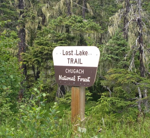
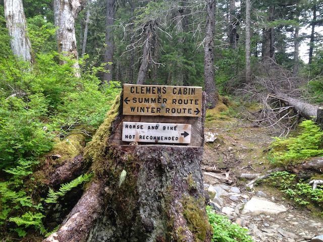
One issue mentioned in the guide books is a summer-winter route choice a short way up the trail (the trail divides, then meets up again at tree line). Basically one route is better for snow machines and the other for hiking. The way it’s mentioned in the guidebooks makes it sound like a pretty immediate feature, and this is made even more confusing by another trail divide about 150 feet after leaving the parking lot. As you roll down and up the very first hill the trail diverges with a “Trail” sign with an arrow directing you to the right. There’s a very clear trail to the left and without giving it too much thought you might follow that sign, head to the right, and then second-guess that choice after a 100 yards or so—thinking that you’ve taken the winter route. Don’t worry, you’re on the right trail—the winter-summer “Y” is clearly marked further up the trail. That first break that heads to the right is easier, and meets up with the trail that headed to the left after a few hundred yards.
 |
| This *is* the sign you are looking for. |
After taking the summer route, just settle in for a fairly robust climb for a couple-three miles to tree line The trail is generally in good condition, with the usual annoying sections. It’s a pretty good hump until the trail breaks out into the rolling meadows above tree line. Be aware of the steep drop-offs as you run up the valley. There are a few spots with NO room for error. Also, there were plenty of places to fill up with water, although that might change later in the season.
At treeline, you’ll meet up with the winter trail, and then it’s a rolling/climbing run with really enjoyable (flowy for a mile or two) single track all the way into the lake. Roughly a mile south of the lake you’ll lose sight of Resurrection Bay behind you, (3g coverage) and several hundred feet in elevation as you run down to the lake.
The Lake
 |
| Probably doesn’t get much better on the Kenai. |
Pretty impressive lake, with a few good places to camp on the southern shore, but a bunch more on the finger that juts into the lake. The finger rises a hundred feet or so, and might be a better place to avoid the bugs—being a bit more breezy. Beautiful spot—Marmots everywhere—if you saw Julie Andrews pirouetting off in the distance you wouldn’t think twice. Basically you’re camping in an REI ad shoot.
Primrose Trail
If you mountain bike you may have heard about this one—bad, scary, white-knuckle things—and to a degree the rumors are true. The trail in general is very well maintained but has some features that make biking it challenging in places. Leaving the lake and turning north, you run roughly 3 miles over a ridge, with some fairly regular rough spots (stairs, gaps in the trail, sudden rises), and gain about 600 feet in the process; after that is a about half a mile (it might might be a as little as a quarter mile) of IDIOT SUICIDE STONER BIKER MOVIE TECHNICAL ROCK GARDEN OFF-CAMBER GULLEY trail. Yes, it *can* be done—but it’s a section of trail for seriously advanced riders. The rest of us just need to get off of our bikes and walk.
Once you get past that, you’ve got about two miles of really enjoyable test-your-line-picking-skills section. It’s tricky, but probably right at most regular bikers’ skill level. There’s enough spaces between the roots and rocks to get your speed back down, it keeps your attention, and puts you through your paces. If you don’t ride much, you’ll need to walk large parts of this section as well. The last two miles are basically four-wheeler track with regular root features, but nothing that won’t let you keep up a pretty good pace.
But for comparison: Lost Lake running at about six miles and Primrose running about eight, it took the same time (roughly two hours) to go UP Lost Lake as it did to go DOWN Primrose. So the trail conditions of Primrose will slow you down just a bit.
Back to Seward
The trip back to Seward is mostly down hill, with about five miles of slight/moderate climb out of the Primrose campground before relenting. It took less than an hour.
Great, great, trip.
mountain bike lost lake primrose trail Kenai peninsula single track

 I guess it finally had to happen: mountain biked the Lost Lake and Primrose trails over the weekend, Running north out of Seward, spending the night at Lost Lake, riding out Primrose trail, and then biking back to Seward.
