Stones in My Passway

Lost Lake–Primrose Traverse

I guess it finally had to happen: mountain biked the Lost Lake and Primrose trails over the weekend, Running north out of Seward, spending the night at Lost Lake, riding out Primrose trail, and then biking back to Seward.

These two trails are probably the most challenging, yet accessible, that I’ve ridden so farthe rough conditions of the trail balanced out by the fact that they don’t become overgrown over the summer. Overgrowth can really be a factor with the long hours of sunlight, leaving some of the trails on the Kenai Peninsula unusable from mid-summer to the first killing frosts in early September.

The Trails

Lost Lake trail starts at milepost five, just North of Seward. Follow the signs about a quarter mile off the highway, and park. The trail does not bait you into any false sense of security: you pay right up front—rough conditions and a pretty steep grade. 

Fake Out

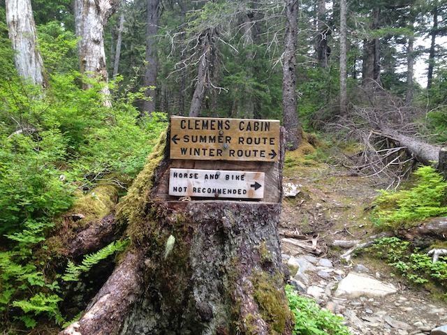
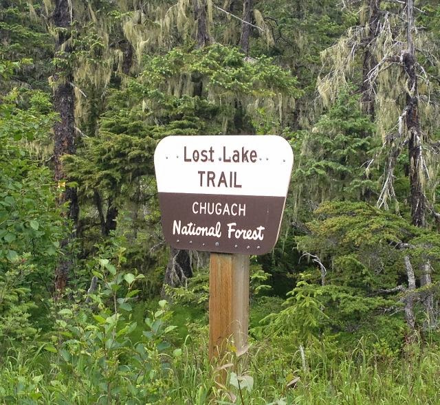
One issue mentioned in the guide books is a summer-winter route choice a short way up the trail (the trail divides, then meets up again at tree line). Basically one route is better for snow machines and the other for hiking. The way it’s mentioned in the guidebooks makes it sound like a pretty immediate feature, and this is made even more confusing by another trail divide  about 150 feet after leaving the parking lot. As you roll down and up the very first hill the trail diverges with a “Trail” sign with an arrow directing you to the right. There’s a very clear trail to the left and without giving it too much thought you might follow that sign, head to the right, and then second-guess that choice after a 100 yards or so—thinking that you’ve taken the winter route. Don’t worry, you’re on the right trailthe winter-summer “Y” is clearly marked further up the trail. That first break that heads to the right is easier, and meets up with the trail that headed to the left after a few hundred yards.
This *is* the sign you are looking for.

After taking the summer route, just settle in for a fairly robust climb for a couple-three miles to tree line The trail is generally in good condition, with the usual annoying sections. It’s a pretty good hump until the trail breaks out into the rolling meadows above tree line. Be aware of the steep drop-offs as you run up the valley. There are a few spots with NO room for error. Also, there were plenty of places to fill up with water, although that might change later in the season.


At treeline, you’ll meet up with the winter trail, and then it’s a rolling/climbing run with really enjoyable (flowy for a mile or two) single track all the way into the lake. Roughly a mile south of the lake you’ll lose sight of Resurrection Bay behind you, (3g coverage) and several hundred feet in elevation as you run down to the lake.

The Lake

Probably doesn’t get much better on the Kenai.

Pretty impressive lake, with a few good places to camp on the southern shore, but a bunch more on the finger that juts into the lake. The finger rises a hundred feet or so, and might be a better place to avoid the bugsbeing a bit more breezy. Beautiful spot—Marmots everywhere—if you saw Julie Andrews pirouetting off in the distance you wouldn’t think twice. Basically you’re camping in an REI ad shoot.

Primrose Trail

If you mountain bike you may have heard about this one—bad, scary, white-knuckle things—and to a degree the rumors are true. The trail in general is very well maintained  but has some features that make biking it challenging in places. Leaving the lake and turning north, you run roughly 3 miles over a ridge, with some fairly regular rough spots (stairs, gaps in the trail, sudden rises), and gain about 600 feet in the process; after that is a about half a mile (it might might be a as little as a quarter mile) of IDIOT SUICIDE STONER BIKER MOVIE TECHNICAL ROCK GARDEN OFF-CAMBER GULLEY trail. Yes, it *can* be done—but it’s a section of trail for seriously advanced riders. The rest of us just need to get off of our bikes and walk.

Once you get past that, you’ve got about two miles of really enjoyable test-your-line-picking-skills section. It’s tricky, but probably right at most regular bikers’ skill level. There’s enough spaces between the roots and rocks to get your speed back down, it keeps your attention, and puts you through your paces. If you don’t ride much, you’ll need to walk large parts of this section as well. The last two miles are basically four-wheeler track with regular root features, but nothing that won’t let you keep up a pretty good pace.

But for comparison: Lost Lake running at about six miles and Primrose running about eight, it took the same time (roughly two hours) to go UP Lost Lake as it did to go DOWN Primrose. So the trail conditions of Primrose will slow you down just a bit.

Back to Seward

The trip back to Seward is mostly down hill, with about five miles of slight/moderate climb out of the Primrose campground before relenting. It took less than an hour.

Great, great, trip.

mountain bike lost lake primrose trail Kenai peninsula single track

Resurrection Pass Trail

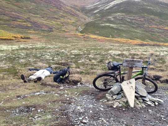
Five minute break—smoke ’em if you’ve got ’em.

The Big One

I mountain biked Resurrection Pass trail from Hope to Cooper Landing on Saturday. Of all the backcountry trails that you can bike on the Kenai, this is the longest and is certainly a world-class ride. Not particularly technical or steep, just the sheer distance of the trail itself gives a lot of riders reason to put it off. It certainly did for me. I’m happy to report that even with the length, the trail is fairly innocuousIt clocked right at 60 km (37 mi.) on the gps, with wheel spin time coming in at about six hours. If you are in reasonably good shape — you’ll be fine. Just start early and give yourself plenty of time.

From Hope

The usual recommendation is to run the trail north-to-south, even though the rise from either end is exactly the same, starting at an elevation of 400 feet on either end and peaking at 2600 feet at Resurrection Pass. The reason for running from Hope and not Cooper Landing comes from the gradual climb from Hope to the pass — taking back that elevation on the way down mostly in two steep declines, one near Swan Lake, and another just 4 miles from the southern trailhead. After running it, I’d agree wholeheartedly — the climb out of Cooper Landing alone would be fairly rigorous.

The trail/climb from Hope to the pass is fairly kind. The trail is wide and in fairly good condition — the usual rocks, roots, and mud — but mostly wide open. The climb is fairly gentle; the only real exceptions were where the trail dips down to cross a creek or stream. What is a nice run down is paid off with a fairly rigorous climb back out, but just as you think you’ll have to get off and walk it — the trail relents and continues the gentle incline. That continues for just about the first half of the overall trail, almost up the the summit.  Once out above tree line (which doesn’t really happen until just a few miles from the summit), the terrain does roll a bit more but still nothing that will make you get off and walk. 

Fake out

One thing to note is that once you do emerge from tree line, you’re going to look dead ahead and see what looks like “the T” — and the far side of the valley where Resurrection Trail meets up with Devil’s Creek Trail. Don’t be fooled; what you’re looking at is actually just a continuation of the same valley, with the pass “around the bend” to your right. You will actually have arc to your right a mile or two until you come around almost 45 degrees. At about the point you get to the sign marking the summit, you are looking at the actual far side of the valley where “the T” is. That terrain feature threw me and made the “when are we ever going to get to the summit” part a little tedious.

Back down

The way down comes in roughly three stages. There is a fairly fast (but rocky) run through “the T” and to your right, across the saddle, until you have to climb just a bit before beginning a somewhat technical section down to the valley just below Swan Lake. Next, there is a fairly monotonous run down the valley, past Juneau Lake toward Cooper Landing, on a trail the gradually improves — although it tends to be muddy. (Muddy in an annoying way, not bad enough to do much more than cover your bike in ooze.) The third stretch comes after a cutoff that either runs to the Bean Creek trailhead (straight), or the Juneau Falls route (right) that runs to the trailhead on the Sterling Highway. I’ve taken both, and the Bean Creek run, while a little rougher, is about half the distance. If you take the Juneau Falls run, it winds up and down for most of the roughly five miles — and really only begins its decline within the last mile or so. Generally, the trail is fine, with some annoying sections of rocks and roots here and there.

Water

On this last route, I didn’t pack all the water I needed but brought a UV system to refill as I went. My Steripen failed even with fresh batteries (from what I’ve gathered, this is not an isolated incident), and I had to rely on another party’s “All Clear” UV bottle that Camelbak manufactures. I can’t say enough good about that product — roughly $90 online.

At any rate, there are many places to refill along the way. Be sure to buy some purification drops as a backup in case your UV fails you. The rivers coming straight off the mountain are almost certainly fine, but in the pass itself there are long series of beaver ponds, so anything from there to the trailhead in Cooper Landing will be drawing on that source.

Overgrowth

Resurrection Pass trail is fairly well maintained, and even though I waited for a killing frost to knock down the vegetation, I wouldn’t be afraid to run it earlier in the year. The forests and up above tree line make up almost all of the trail, so the danger of having to snorkel through chest-high wet grass is limited to a very short section (probably a mile). And with the amount of traffic the trail sees, even that shouldn’t be much of a problem.

Data

I’ve attached the .gpx file of the trail taken from the GPS data from this run. (Right click and do the “save as” thing.) Dropbox link for .gpx file.
Devils Pass

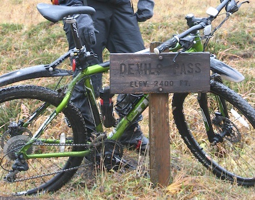
Rode from the Devils Pass trailhead to Cooper Landing today: Devils Pass Trail to Resurrection Pass Trail, then in to Cooper Landing at the Bean Creek trailhead. Roughly 25 miles, and seven hours.

Compared to the Russian Lakes and Johnson Pass trails, this was a bit longer and much more varied in terrain and elevation. The elevation change was roughly ~1800 feet, and a large part of the Devils Pass trail was above treeline. Neither of Russian or Johnson have that feature, and with Russian Lakes trail in particular, you are down in the brush for most of the time, which gets a little creepy considering all the bear scat. Up in the Devils Pass things were a little less tense; nothing is going to sneak up on you.

The trail conditions were varied as well, some parts on the first third of the ride were somewhat rocky bordering on technical (probably a mile in total), with the trail becoming downright civilized in the valley leading in to Cooper Landing. The ~1800 foot gain is pretty gradual, for the most part NOT  a granny-gear grind. The ending section of Devils (before meeting up with the Resurrection Pass trail) was a delight, above tree line, with good singletrack, even under some VERY wet conditions.

The Pass

The Devils Pass trail meets up (ends basically) with the Resurrection Trail which runs from Cooper Landing into Hope. After meeting up, the trail gets a little more rutty, but more than makes up for any shortcomings after you pass the Swan Lake cutoff. From there to Cooper Landing the trail conditions improve consistently, until, after Juneau Lake, you are essentially riding a four-wheeler trail.

We double parked at the Bean Creek “trailhead” which is off the Slaughter Creek road, which is in turn off Bean Creek Road, right past the bridge in Cooper Landing. The trailhead itself is a wide spot in the road, where you can pull off and out of the roadway. The road itself actually continues for another mile or two and generally gets worse as you go. I’d imagine that most cars could get in and out, with one rough spot that could be a problem. There’s a nice loop at the end for parking the car if you make it. Either way, you’re shaving about five miles of the run by parking there and not at the Resurrection Pass trailhead on the Sterling Highway. (2014 edit: And if you risk the road to the end, it’s only ~1.6 miles to the Resurrection Pass trail cutoff.)

All in all, it was a great trip. I can’t say the same for the other two trails I mentioned, but I’d definitely ride this one again.

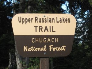
Russian Lakes Trail

Rode Russian Lakes Trail today. 
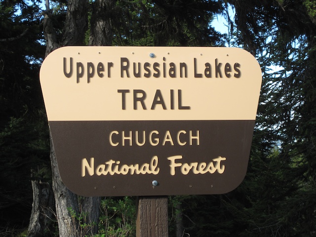
We doubled parked and rode it from Cooper Lake to the trailhead near Cooper Landing. Compared to my experience with Johnson Pass Trail (in late August), this was a bit easier, and we were able to average 5.9 mph — getting on the trail at 8:30, and off at about 1pm, for 22.2 miles. The trail conditions were good throughout, starting with great 4-wheeler track that gradually congealed into single track after 3-4 miles.  After that, there were the normal amount of roots, mud, and rocks, with the foliage (devil’s club) starting to close up the trail in several 100-150 yd sections. Probably about five miles from the Cooper Landing side, there is a creek/gully without a bridge that pretty much guarantees you’ll get your feet wet. The trail in general was in good shape.
Looking at the National Geographic map for the Chugach/Kenai NWR, there is a notation that this trail is rated “Difficult” where the Johnson Pass Trail is rated “Moderate.” That seems odd — if anything, Russian Lakes was easier (maybe just going from the high side to the low side made it a bit easier). But in general, the trail conditions — in terms of rocks, roots, mud, etc. — were the same. You could probably make the case that Johnson’s Pass is more dangerous in terms of drop-offs/gullies next to the trail. I was worried that the Russian Lakes would be “technical” in light of the rating on the map, but other than the amount of overgrowth (Johnson Pass was MUCH worse in late August in terms of grass and Devil’s Club) the two trails seem the same in most respects. 
Other than that, things got a bit tense from all the bear scat and bear precautions — and we did see one small Blackie (running away). There’s something to be said for seeing the wildlife from the tour bus — you’re definitely not quite at the top of the food chain when you leave your vehicle.

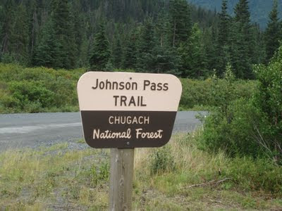
Johnson Pass Trail

Rode Johnson Pass Trail Saturday.

About 24 miles (24.0 on the Incite 11i, but with one small turnaround) long, good trail conditions top to bottom — with one serious caveat: about FIVE MILES of the trail is overgrown with CHEST HIGH grass and Devil’s Club. The overgrowth was so dense that you had to ride by feel, which was not much fun. Very, very wet with all the grass, although it didn’t make the trail muddy or slick.

Started at the North trailhead, and until the overgrowth, the ride up to the summit was pretty fast, with a normal amount of mud, rocks and roots. After the overgrowth started, it was very trying — uphill in the grass. About a mile after the summit, the trail opened up to near-perfect conditions for the ride downhill (about 7-8 miles) making good time in the process. After that, about 6 miles from the end, there was more climbing, and a trail that was less than perfect — just a little rough here and there — until the end.

Also, I saw more bear scat on that trail than I had in my entire life put together.

Update: 7/2/2012

I have heard form the local bike club, that due to the number of windfalls on this trail, that it may be undoable this year.

Update: 9/23/2013

The windfalls have been cleared.